
NOW Wireless
Smart City
Know what’s happening in your city. Connect everything already on the street, see all of it in one place, and let the platform act on what the street reports — in real time, and an hour ahead.

What a smart city is
A city is a collection of resources — existing and new
Traffic lights, cameras, sensors, IoT devices, the council network, the internet. Some were installed twenty years ago; some arrive next month. A smart city is not a new set of equipment — it is all of that, treated as one resource. We don’t care where the asset is or who made it: whatever data you have, we can bring it back and put it to work.
- Existing assets count: what is already on the street is the starting point
- New assets join the same system as they arrive
- Any source, any maker — no lock‑in to one vendor’s equipment
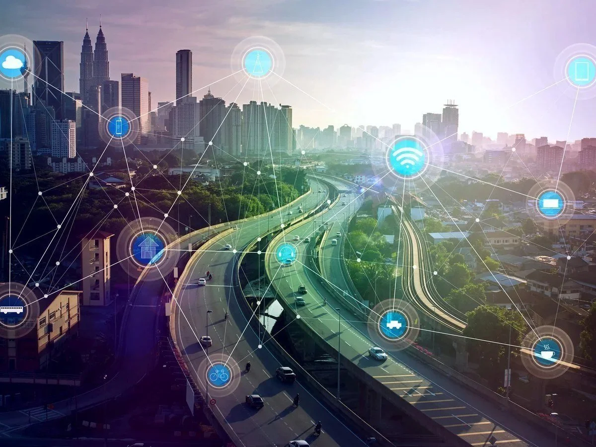
Everything already on the street is the starting point.
The idea
One piece of software that collects the city’s information, lets the city know what’s going on, and sends it wherever it’s needed.
CCTV, IoT, traffic lights — whatever the source. Collect it, understand it, distribute it, act on it, remember it, predict from it.
How it works
Three layers, one platform
Every smart‑city function NOW Wireless delivers sits in one of three layers.
1 · Collect
Illuminate the street with a communications network that brings every source back — existing sensors, IoT, traffic‑flow data, CCTV through AI.
2 · Distribute and act
SenseView holds it all in one real‑time database and sends each kind of data where it is needed — to the street, the control room, or the API.
3 · Remember and predict
Store it all as history beside weather, road condition and events, then forecast traffic and pollution ahead of time.
Layer 1 · Collect
Bring every source back, whatever it is
The AI and the network are what turn a street full of equipment into data.
- Existing sensors — fog alerts, weather, any IoT device already installed
- Traffic‑flow data gleaned from the communication with the traffic lights
- CCTV images processed through AI — Automatic Number Plate Recognition (ANPR), counts and classification — on existing cameras or new ones
- On‑street AI that multiplexes several cameras onto one link, sending back only what matters where bandwidth is tight
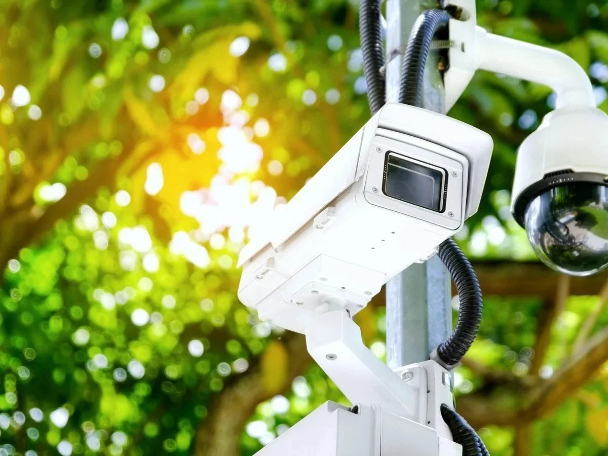
Existing cameras become data sources through AI.
Layer 1 · Backhaul
The connection can be anywhere
On a building, a CCTV column, a library — wherever the data reaches the council network or the internet. We don’t care where the asset is.
- 4G and 5G
- Fibre
- Satellite — including low‑earth‑orbit services such as Starlink, under evaluation
- Our own wireless mesh, where nothing else reaches
- Any of them mixed: the platform traces the data across whichever path it took
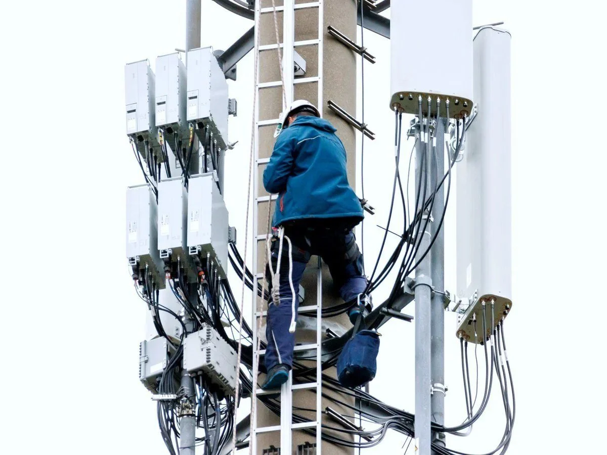
Wherever the data reaches the network, that is where the connection goes.
Layer 2 · The data layer
Everything lands in one real‑time database
Every reading, every stream, every event arrives in SenseView as it happens — and stays there as history. It stores and streams CCTV, runs AI plug‑ins, triggers actions, predicts, and shares through one API. City management is a market the traffic‑light vendors claim; they get their data from this layer.
- Captures from any source, streamed or polled, over any device or communications system
- One API for city management software, UTMC (Urban Traffic Management and Control) servers and analysts
See the Real-Time Data page for the data layer in full.

One real‑time database for the whole city.
Layer 2 · Distribute and act
Decentralised and centralised at the same time
Each type of data goes where it is needed — not always back to the centre.
- Real‑time network data — traffic lights, CCTV — is fed straight to the required locations
- SenseView can instruct on‑street equipment to stream directly to other clusters or locations, separate from the central system
- Stored data — journey times, counts, turn analysis — is on the API for your city management software
- Alerts go out the same way: an excessive queue, a rising journey time, a forecast exceedance
Data is fed straight to where it is needed.
Layer 2 · Your traffic system
We work with the traffic system you already run
In the UK almost every traffic‑light system now runs in the cloud. Either we process the data from the lights and feed it into that cloud, or we lay our information on top of what is already running — without moving their data at all. What we add is what the lights cannot see for themselves: journey times, actual and predicted user counts, queue lengths, pollution forecasts — fed into city management so the plans can change. Where it is wanted we go further, count the vehicles into a junction and do the loop control ourselves.
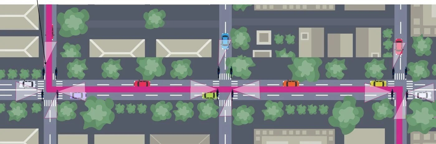
Junctions, corridors and the data that joins them.
Layer 3 · Remember
See what happened. Then see what happens next.
A twin‑city approach: the whole history of the city, used to predict its next hour.
- Everything the street reports is stored as history
- Weather, road condition and journalled events — football matches, roadworks, school terms — are stored beside it
- The AIs collect for planning as well as for the moment: turn analysis and historic journey times, exportable for city planning
- Replay any period, compare it with today, ask what the same conditions produced last time
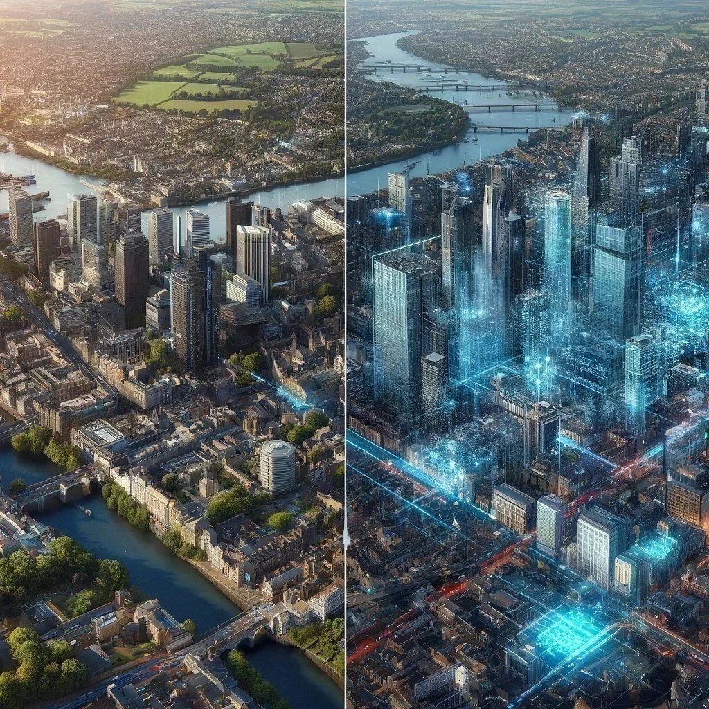
The city as it is, and the city as its history says it will be.
Layer 3 · Predict traffic
Know where the traffic will be before it gets there
Detect vehicles entering the city at one point, and forecast where that count lands.
- From history, the facilities along the route, the weather and the day’s events, the platform predicts where those vehicles will be in twenty minutes — or whatever the journey time between the two points is
- It flags trouble early: a journey time between two points starting to rise, or a queue into a junction growing past its normal length
- The flag is pushed through the API into city management or Urban Traffic Control (UTC), where the plan can change before the queue does
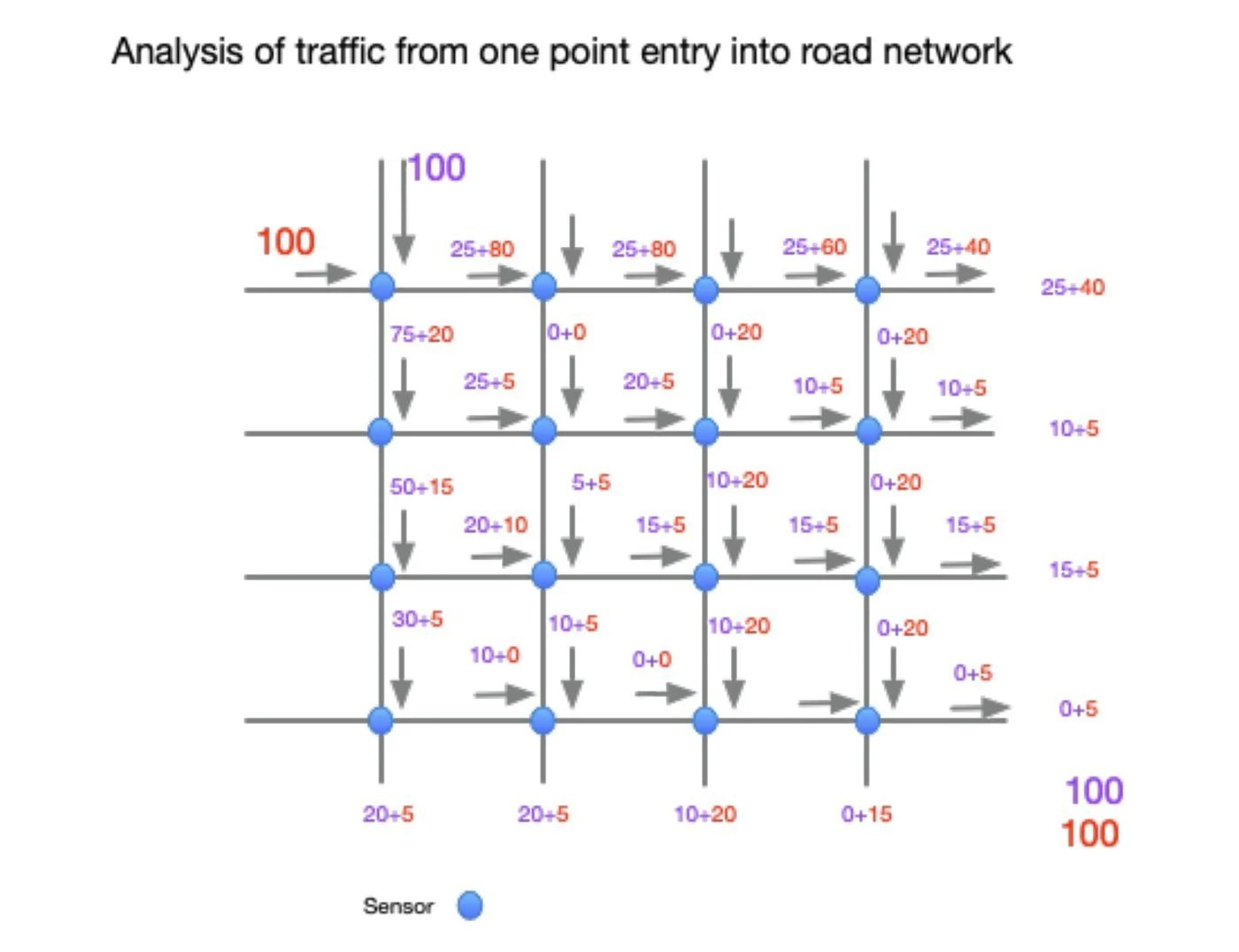
Analysis of traffic from one point of entry into the road network.
Layer 3 · Predict pollution
Pollution forecast an hour ahead
Nitrogen dioxide (NO₂) takes up to an hour to form in the air. That hour is the window to act. Forecasting it an hour ahead means traffic can be queued further out of the city before the exceedance ever appears — rather than reported after it has. On a main route you choose the point where timings change when the forecast shows a problem: open ground around it where what is released can disperse, and away from the people it would harm.
- In specified trials forecast accuracy has reached up to 95%
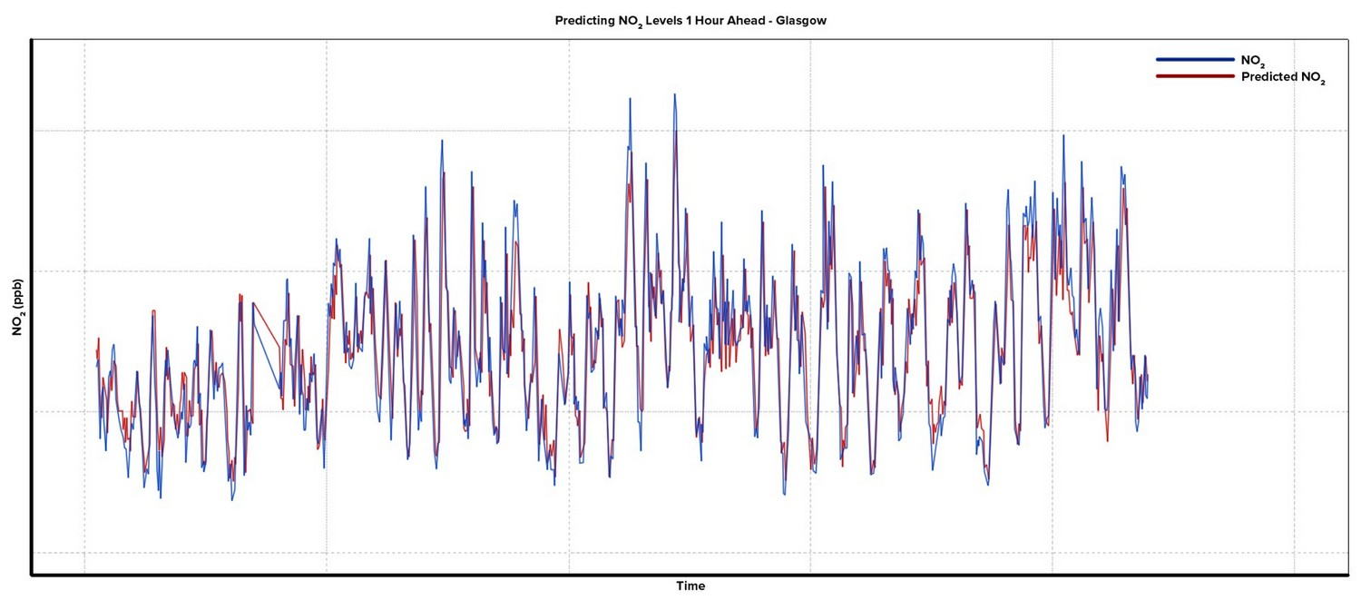
Measured NO₂ against the forecast made an hour earlier.
In practice · Newcastle‑under‑Lyme
Same journey time. Cleaner air where it mattered.
A care home on the inner ring road, with heavy traffic outside and NO₂ building up at peak times. Working with Staffordshire County Council, the forecast was used to hold traffic further out on the main route — at a point with open ground around it — when a build‑up was predicted. Journey times did not change. The pollution moved to where the fields could disperse it, and away from the residents it had been reaching.
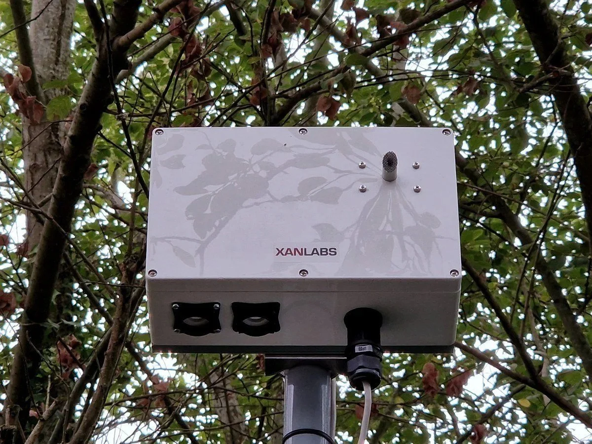
XA Series sensor on a street column.
For the planners
Data for the next ten years, not just the next ten minutes
The same AIs that run the city in real time are building the record you plan it with.
- Turn analysis at every monitored junction
- Historic journey times, by route and by time of day
- Counts and classifications of vehicles, cyclists and pedestrians
- Where traffic actually goes — including rat‑runs through residential streets
- All of it exportable, so the evidence behind a scheme is yours to share
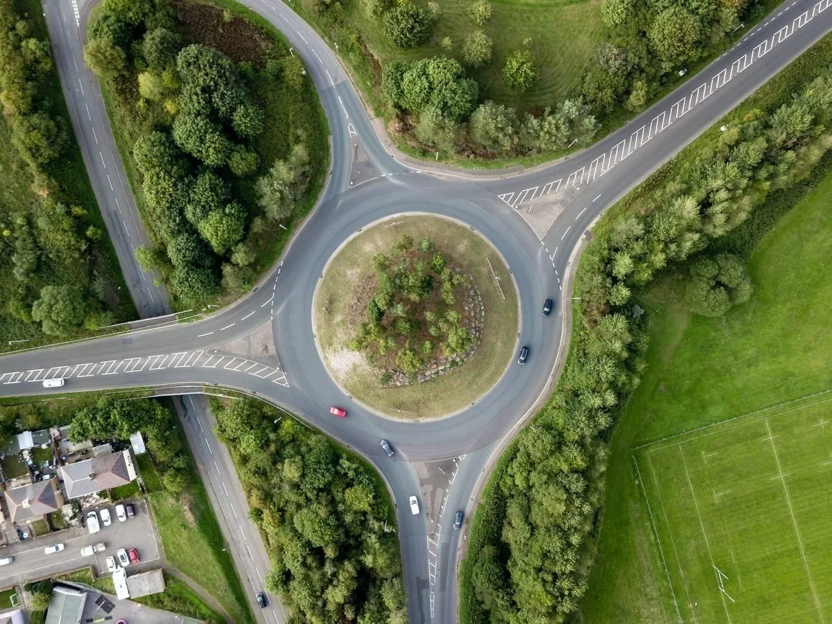
Every monitored junction builds the planning record.
Also inside Smart City
Four things a city runs on, each with its own section
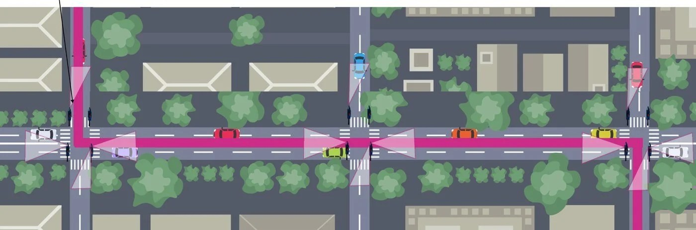
Smart junctions
Wireless and fibre junction clusters, virtual loops, cyclist and pedestrian priority.
Traffic Light Infrastructure →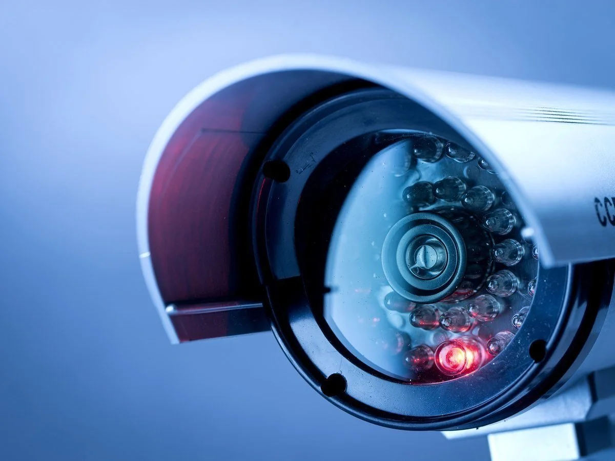
CCTV
Modular, scalable CCTV infrastructure — storage anywhere from the camera to the cloud.
CCTV Infrastructure →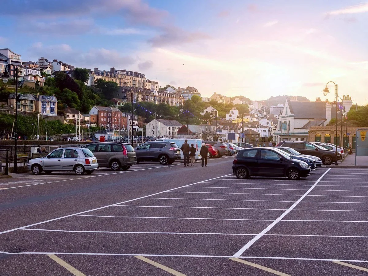
Parking
Live occupancy, overstay capture and enforcement evidence on the same cameras.
Parking on the AI page →
Healthy streets
Roadside air quality, an hour‑ahead forecast, and traffic control that acts on it.
Pollution forecast, above →Get in touch
Start with what you already have
Talk to our engineers about the equipment and data already on your streets, and what one platform could do with it.